Our twitter feed is unavailable right now.
The Latest News
view all- Jun 13, 2024
- by Bicycle Colorado
Discover Denver With Denver Century Ride
- Bicycling in Colorado,
- Denver,
- Event Member Spotlight,
- Events
- No Comments
Join us at our Gear Up! Fundraiser on June 4th for the best bike party in town! (Click outside black box to close window.)
Learn MoreOur extensive library of bike maps and resources is a great start for experiencing Colorado by bike! You may also purchase paper copies of some maps in our store.
Please note that while we are providing these and other resources to get you started, we are unable to assist individuals with detailed trip planning.

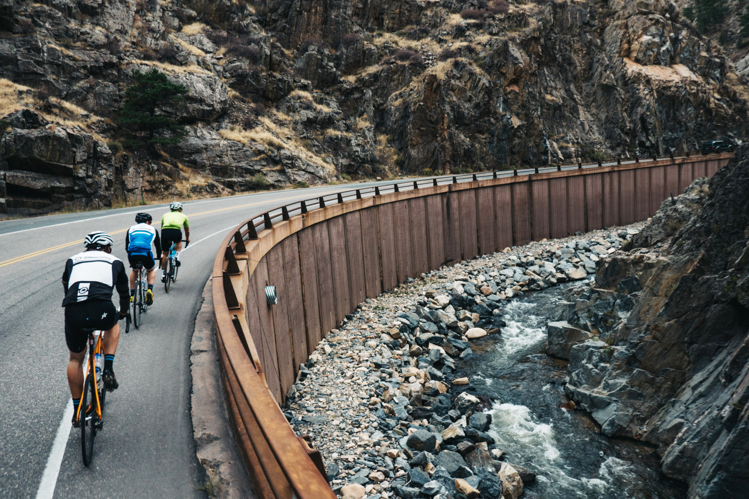
Photo courtesy of rodeo-labs.com
The Colorado tourism website has multiple resources for planning your trip. We also recommend exploring the bike maps and resources here on our site.
If you have further questions, we suggest reaching out to city/regional tourism offices. Other helpful options include searching for online ride forums, local bicycling Facebook groups, Strava data or simply telephoning bike shops in the area you wish to visit.
Please note that Bicycle Colorado is primarily an advocacy and educational organization. Our staff is not able to help individuals plan cycling trips.
Your best resource for road information is the Colorado Department of Transportation’s travel planning site. They even have an app for on-the-go planning.
Generally, paved roads are clear of snow after May 1, except for Independence Pass and Trail Ridge Road, which usually open around Memorial Day. High elevation trails can be muddy until mid-June or July.
Please respect our trail builders and DO NOT ride on muddy, sloppy singletrack trails as doing so can cause significant damage. Unlike some geographies, Colorado’s natural-surface trails generally do not fare well when wet.
Weather can vary day-to-day and even hour-by-hour. Come prepared for everything from heat to thunderstorms to snow–even in the summer!
The Colorado Department of Transportation’s Colorado Bicycling Manual is a good resource for the rules and laws (En Español). We also have most of the information reproduced here on our website (Rules of the Road and IMBA’s Rules of the Trail) for your convenience.
Most shoulders on interstate highways are open to bicyclists except in metro areas and along specific mountain passes (you cannot ride Vail Pass through Glenwood Canyon, I-70 through the Eisenhower Tunnel or CO-6 from Golden to its I-70 intersection, for example).
Alternate routes and adjacent bike paths can help get you where you’re going. For a more comprehensive guide, please explore the Colorado Bicycle and Byways Map prior to planning a trip to make sure you don’t end up somewhere it’s not safe to be.
Most bike shops and ski resorts rent bicycles. You may also check out the Hub, our comprehensive resource for riding your bike in Colorado!
If you want to bring your own bike, check out BikeFlights as a shipping alternative.
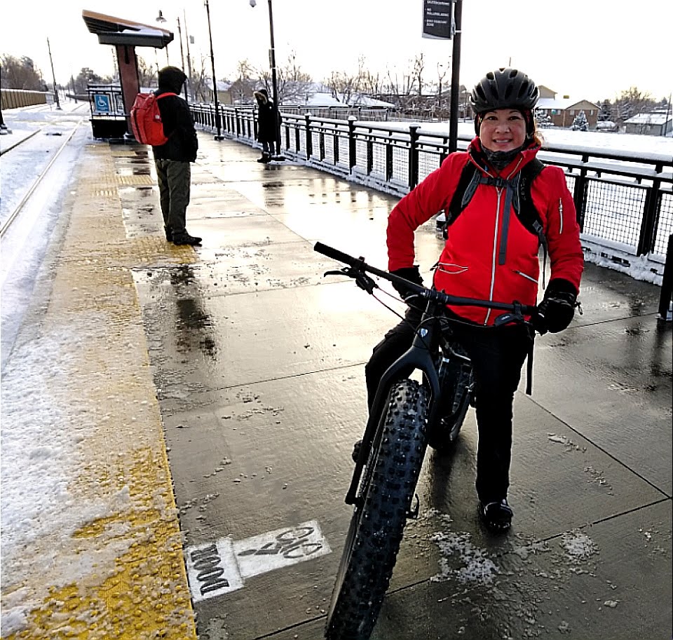
Most of the large- and medium-sized cities in Colorado have some form of public transit that can accommodate bicycles. Between riding and taking a bus or train, you can get around fairly easily without a car (if you’re willing to make the effort!).
FLYING WITH YOUR BIKE
Check out BikeState38’s guide to packing and flying with or shipping your bicycle.
REGIONAL
Bustang is a regional, North-South route between Colorado Springs, Denver and Ft. Collins, with separate service West to Frisco, Vail, Eagle and Glenwood Springs.
DENVER-BOULDER-GOLDEN-EVERGREEN
RTD Bike-n-Ride information (airport train, commuter rail, light rail and bus service)
COLORADO SPRINGS
Mountain Metro public transit (bus service)
SUMMIT COUNTY
Summit Stage (FREE bus service)
DURANGO
Public transit (bus service and trolley routes)

Our twitter feed is unavailable right now.